Promenade Fleuve, Québec
Canada
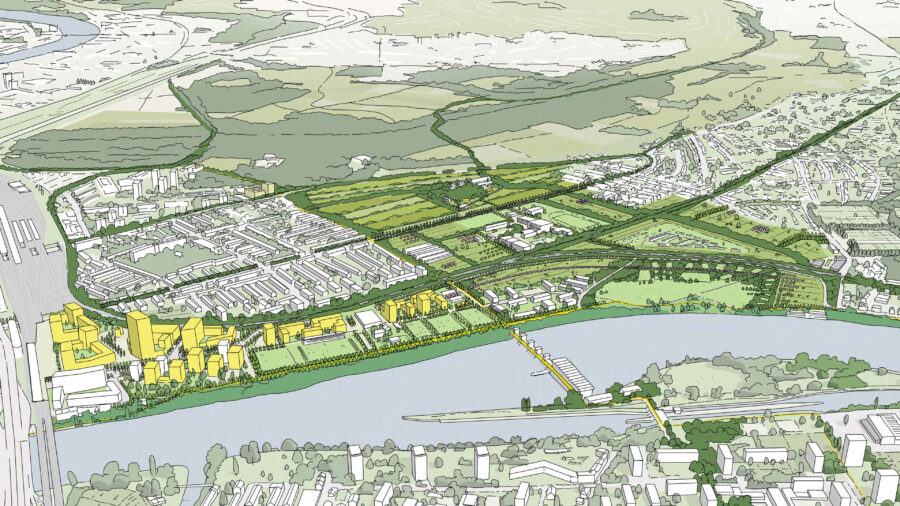
La Promenade Fleuve is the answer to the ideation competition launched by the Quebec government to imagine the redevelopment of phase 4 of the Saint-Laurent River, with particular regard to the green and blue infrastructure of the area.
Client
Québec Government
Geography
Status
Year
2023
Partners
VLAN, Atelier Pierre Thibault (APT), ARUP with White Arkitekter, Systematica, Jean-Bruno Morissette
“The St. Lawrence River, the “Great River” in Huron-Wendat oral tradition, lies at the heart of the Nionwentsio and has always been the “highway” used by the Huron-Wendat to reach the territories where they traditionally practised – and continue to practise – their traditional activities, such as hunting, fishing, trading and plant harvesting.
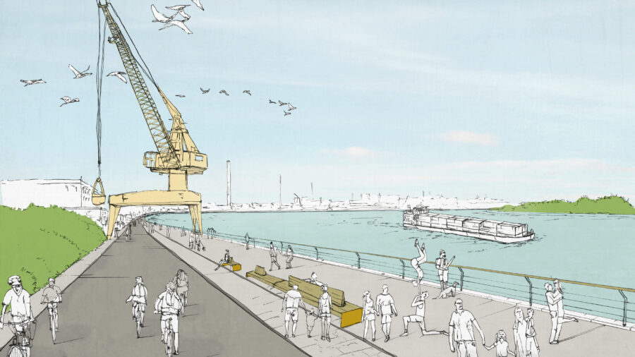
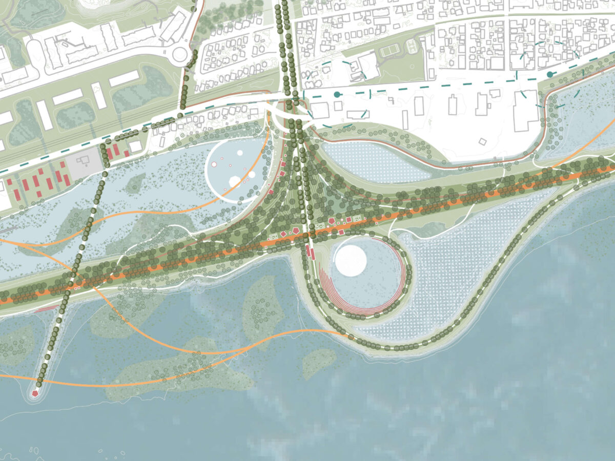
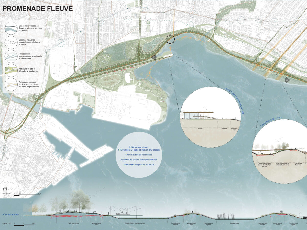
The Riverwalk substitutes private vehicle infrastructure for an active and collective transport network. In a reduction approach, the diversion of a portion of the Dufferin-Montmorency highway leaves room for a green, blue, and white network connected to the city centre.
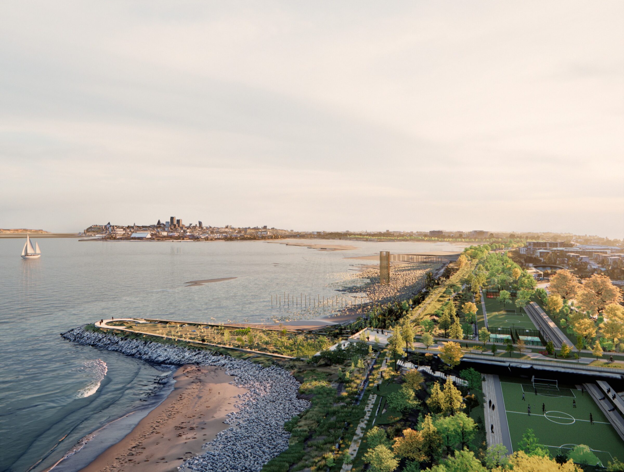
A new river experience from the historic urban core provides a new destination in the capital and a public space for the local population. On the tidal flats, the main motorway structures are now removed from the river landscape, allowing the Maizeret estate to extend out over Beauport Bay.
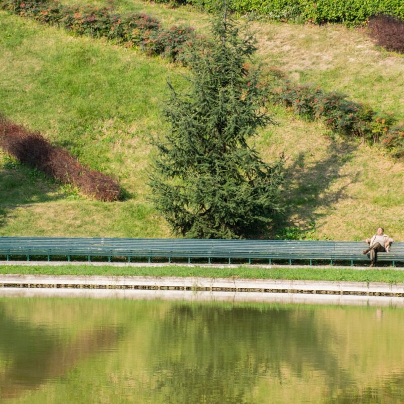
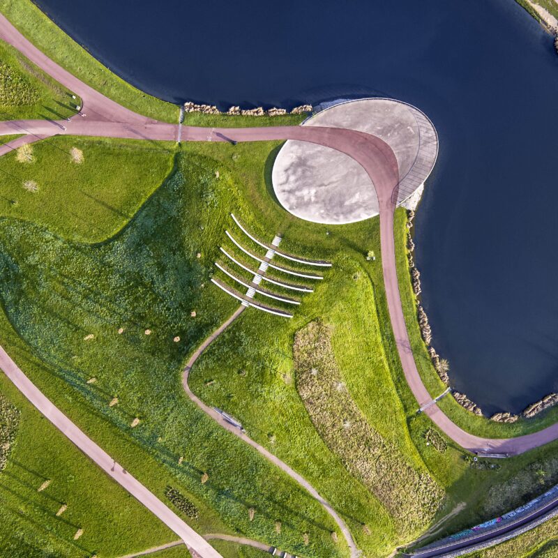
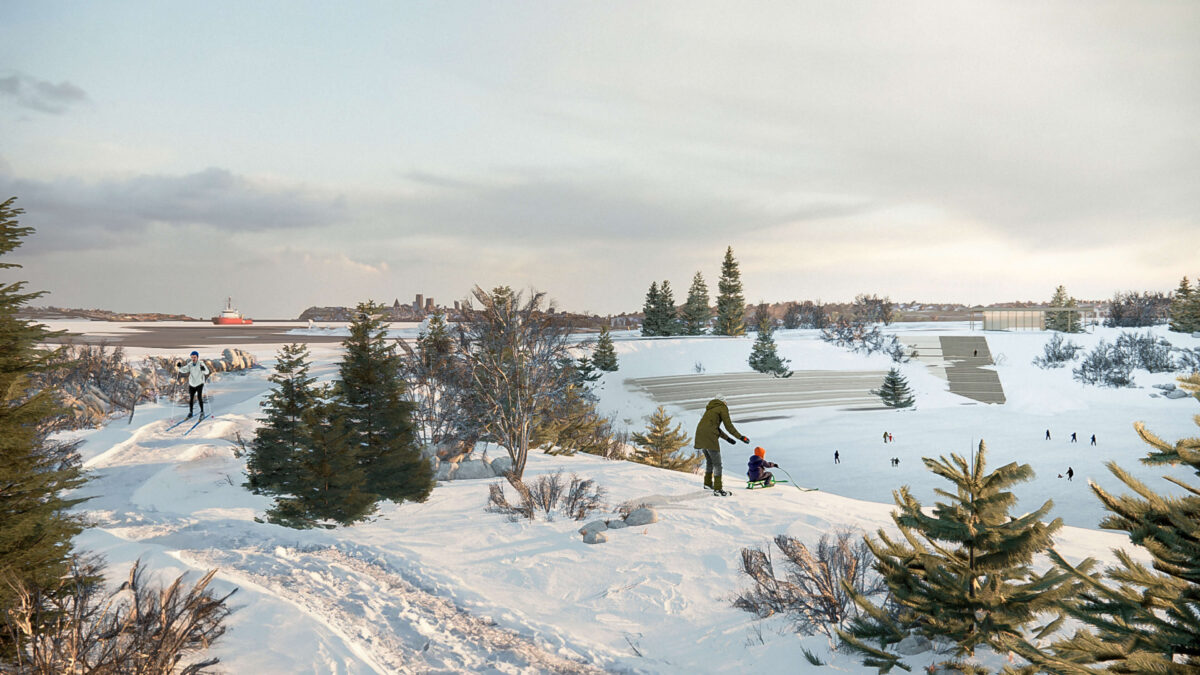
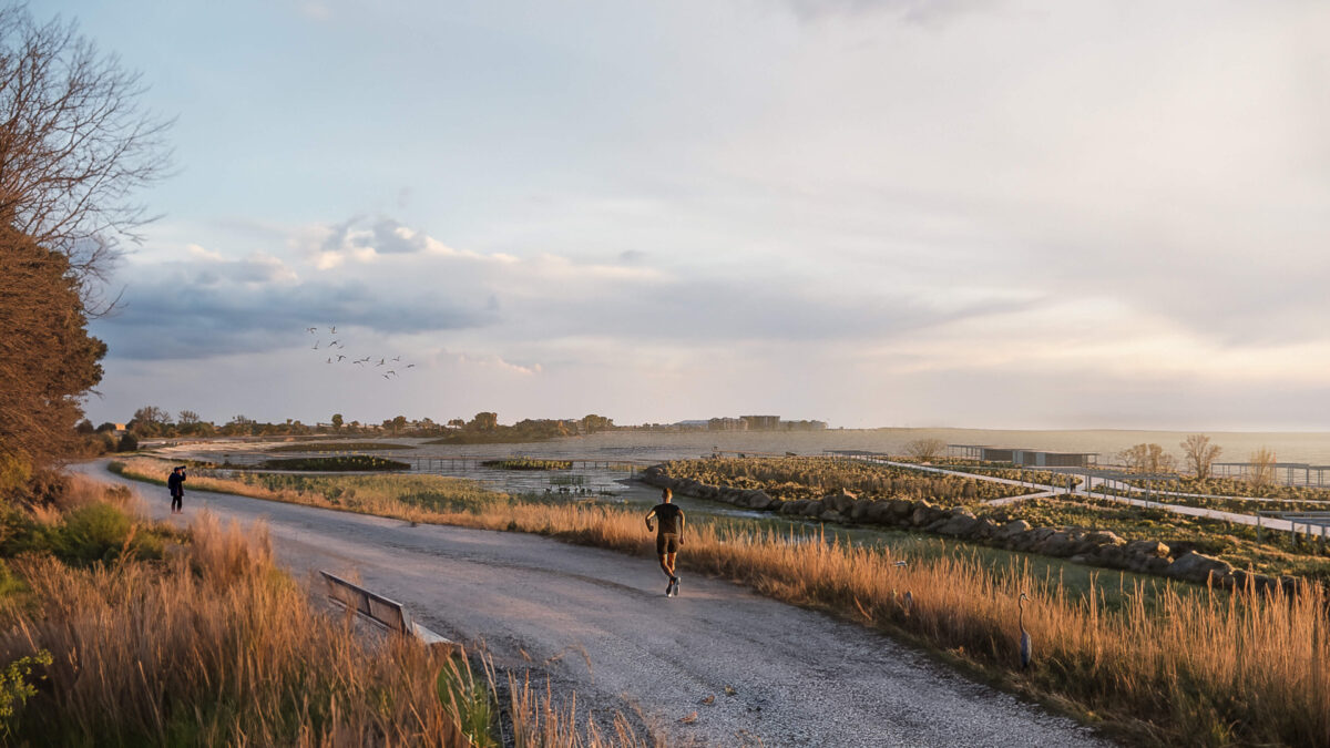
A landscape sequence accompanies access to the river from the d’Estimauville interchange as a silent promenade through riparian woodland. Footbridges, swinging towards the rediscovered riverbanks, create a pedestrian and cycle network that increases contact with the river. The memory of the original riverbank, combined with the urgent need to bring humans back to nature, inspires a fluctuation of experiences sensitive to the behaviour of the water. It links up with the Saint-Charles River corridor and extends as far as the Montmorency Falls.
In this hydroconnected zone, the living structure re-establishes the lost link with the shoreline and creates a promenade that serves as a dike, a filter repairing nature, ensuring resilience and future adaptation to climate change. Freshwater from the Great Lakes and other tributaries, including the two rivers that flank the site, is subject to tides that raise the water level by up to six metres. These fluctuations give rise to a dynamic coastline that previously supported a rich ecology of tidal flats and recreational areas.
Office
People
Valeria PagliaroFederico BressanelliVirgilio Diaz GuzmanAndreas Kipar Aurora Bosio
Typology
Vegetation
9000 trees
540 t/y of CO2 sequestration
Depaving
20,000 sqm
10 km of highway removed
Water management
365,000 sqm extension of the river
