From Pass to Pass
Traveling Switzerland's wintry crossings
By Federico Scopinich.
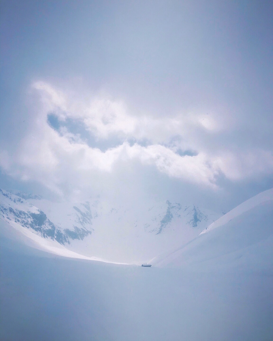
When I was asked to write something about life outside the big cities, I (who grew up in Milan and have lived in Lugano for several years) thought about last winter, when I had few options for traveling south. So I turned to the old nearby mountain passes to the north, which are partially closed to traffic in the winter and only accessible on touring skis and climbing skins. That’s how this little story started, as a hiking diary in which I describe the perhaps unconscious need to overcome geographical barriers while contemplating questions about the future of alpine landscapes.
Airolo and St. Gotthard
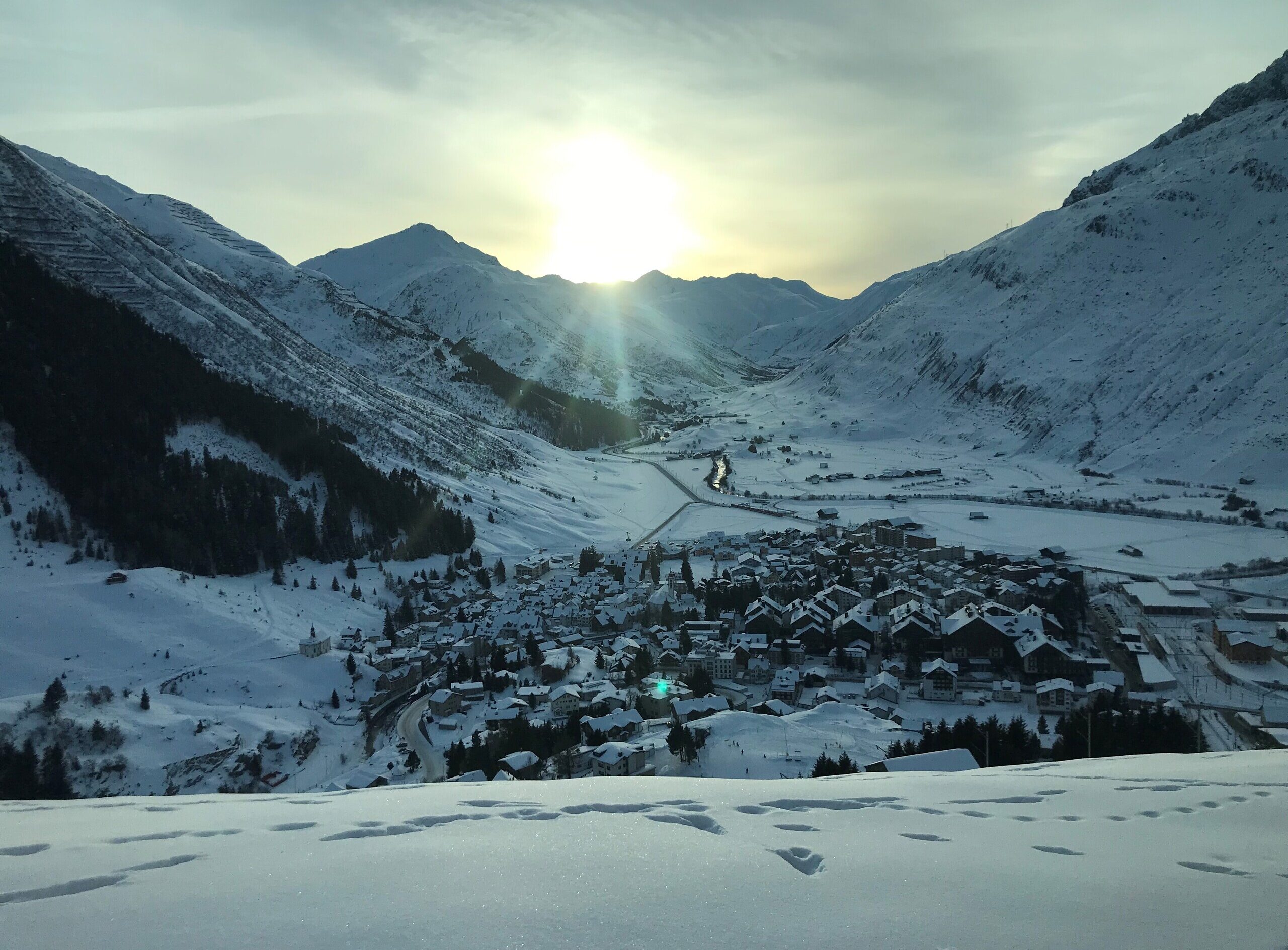
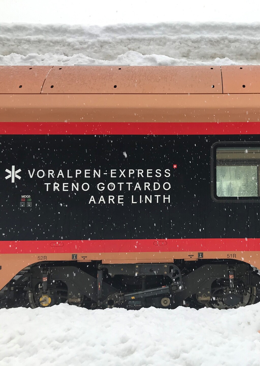
This hike begins in Airolo at the foot of the Gotthard Massif, where the Swiss army was once stationed in order to fend off an expected attack by fascist troops from nearby San Giacomo Pass. Now it’s traffic that threatens Airolo. In 2018 the municipality was able to launch an important landscape restoration project for the valley, including plans to cover a one-kilometer stretch of the A2 highway nearby. It will still be years before people can forget the endless traffic jams of the Alta Leventina and their negative effect on quality of life. In their place, a new landscape is slowly emerging, with agricultural areas, woodlands and recreational facilities, inspired by the sustainable development of tourism and the environment.
From Airolo, two tracks lead to the Gotthard Pass. With its 24 hairpin turns, the historic Tremola route, built between 1827 and 1832, is perhaps the most spectacular stretch of the Via delle Genti (the “Peoples’ Road”). Unlike the Brenner and Simplon passes, the deep gorges in the Leventina and Valle della Reuss often prevented goods from being transported over the Gotthard Pass. Yet it was a direct route for anyone who wanted to reach central Switzerland from the south. Today the Gotthard Pass has reached
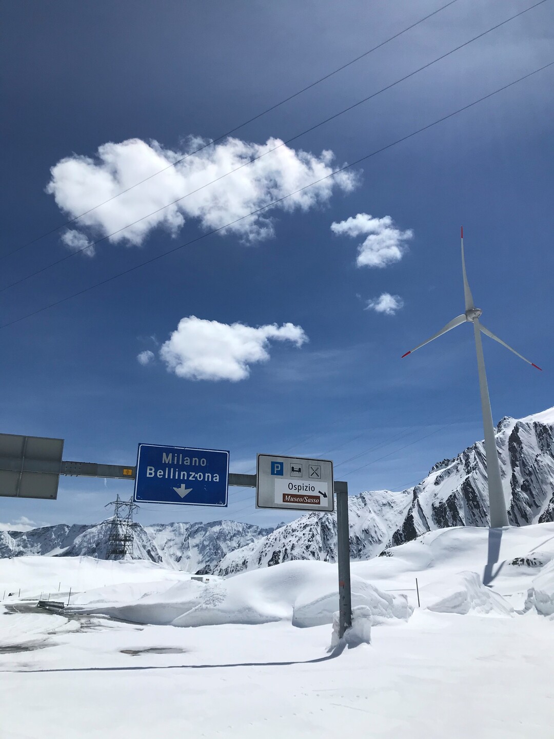
a technological pinnacle, the culmination of centuries of creating infrastructure, connections and relationships across the Alps. The city isfar away, but it leaves its mark through various infrastructure scattered across the pass. With its five wind turbines, the wind farm that opened in 2020 generates 15% of Switzerland’s wind energy. Although the amount of infrastructure on the valley floor is finally starting to decline, and people are increasingly moving towards a future of sustainable development of the environment and tourism, the pass remains a symbolic place that has been marked by outside forces. I wonder whether acceptance of such facilities in uninhabited mountain regions like theGotthard Pass has become less questionable.
Andermatt, Oberalp and Furka
On the north side, the Gotthard Pass trail leads to Hospental, a picturesque village in the Urserental. The largest town in the valley is Ander- matt, a formerly reclusive alpine village that over the past ten years has undergone a major transformation, with the construction of hotel and residential complexes and a connection to the nearby Sedrun ski area. The reason for this sudden development of tourism is Andermatt’s strategically attractive location. The village is on the Furka–Oberalp railway line, which connects the cantons of Valais and Graubünden. And the A2 highway is only seven kilometers away. The Urserental’s destiny clearly lies in tourism. The community’s future seems predestined, and it would not be the first alpine region to embrace an increasingly urban atmosphere. Do we miss the city when we go to the mountains?
Nufenen and Val Bedretto
The Gotthard Massif is the source of four major European rivers. In addition to the Rhine and the Reuss, the Rhône also arises from the foot of the Furka Pass with a glacier of the same name (now shrunk due to global warming), and flows through the Valais into Lake Geneva and on to the Bouches-du-Rhône, the Rhône delta in southern France. On the eastern side of the Nufenen Pass, the Ticino has its source in Val Bedretto, flowing through the Leventina across Lake Maggiore and finally emptying into the Po. Rivers are important links in this region. During the summer you can explore this great European watershed along the 85-kilometer “Vier-Quellen-Weg” (Four Springs Trail). It seems a paradox, but these natural elements link the different valleys of the region better than transportation infrastructure does. With the exception of the Nufenen Pass for a few brief months in summer, there is no direct connection between Ticino and Valais (and thus Lake Geneva). Perhaps because the transalpine crossing over the Gotthard permits no detours?
An almost straight stretch runs from Andermatt to Realp, a village in the extreme southwest of the Urserental at the mouth of the railway tunnel that leads to Valais. Here the hairpin curves climb up to the Furka Pass. Barely visible on the signposts is the name of the road that was the scene of the famous car chase in the film “Goldfinger,” with James Bond driving a souped-up Aston Martin DB5. Near Tiefenbach, where the path to the pass winds up the steep slopes of the Bielenhorn, I have an encounter with a viper just coming out of hibernation. It’s slow and confused, trying to avoid patches of snow, and finally it vanishes among the steep meadows that slope down to the Reuss.
Lukmanier
In the High Middle Ages, the Lukmanier Pass, which connects the Blenio Valley in Ticino with the Medel Valley in Graubünden, was one of the most popular European routes between the Po Valley and the Rhine Valley, and was also a road for religious travelers, with pilgrimage churches and monasteries. Nowadays, after keeping the pass open in winter for a time (2002-2010) to encourage tourism, the trail is one of the first to open in the spring, and is used to get to various points of departure for ski tours in the region. Along the upper stretches of the trail are extensive forests with slow-growing, long-lived stone pines (Pinus cembra) nestled along the bends and riparian meadows of the Brenno River, which regularly floods, regenerating its rich ecosystems. Large parts of the area are pristine, while at lower elevations the landscape of the Blenio Valley is marked by agriculture.
The Swiss Confederation maintains its landscapes through “landscape quality contributions.” This financing maintains the cultural value of the landscape, including the preservation of woodlands, creation and care of chestnut forests, and promotion of alpine agriculture. This rural landscape is the result of goals shared by business leaders, politicians and citizens. While the balance of interests is less challenging at lower elevations, in the mountains, in places like the Greina plateau, there is a clash of interests between efforts to preserve the pristine nature and uniqueness of the Greina area as an “alpine tundra” for hiking and nature tourism and the interests of shepherds and hunters. Leo Tuor talks about these problems in his interesting article, “Eine andere Greina” (“Another Greina”). How does the alpine identity develop, when nature becomes a museum?
Val D’Avers
A long drive along the San Bernardino road takes you to Juf, Europe’s highest permanently inhabited community, enthroned above the treeline at the far end of Avers Valley, at an elevation of 2126 meters. This peaceful place with its mostly undeveloped ski facilities attracts few visitors in the winter, but the feeling of seclusion vanishes during the summer. An extensive network of hiking trails takes visitors to nearby valleys like the Bergell and Val Surses, or up to the Lunghin Pass, the triple watershed for the Black Sea, the North Sea, and the Mediterranean, where the Inn, the Julia and the Mera (known as Maira in the Bargell dialect) have their source. The Septimer Pass is also nearby, on the divide between the major European basins of the Rhine in the north and the Po in the south. The pass played a major role during Roman times, but became less important after the Gotthard was opened. Today Juf has 21 residents, while the municipality of Avers has 171. Although its population has steeply declined over history (in the seventeenth century almost 500 people lived in Avers), the number of residents has now become fairly stable. Of course, for such an isolated community to survive, both service facilities and local job opportunities are of vital importance. But what would become of Juf if the village’s remarkable qualities began to attract vacationers and more of its dwellings were used as second homes?
Do we miss the city when we go to the mountains?
Read other Articles from this Edition
